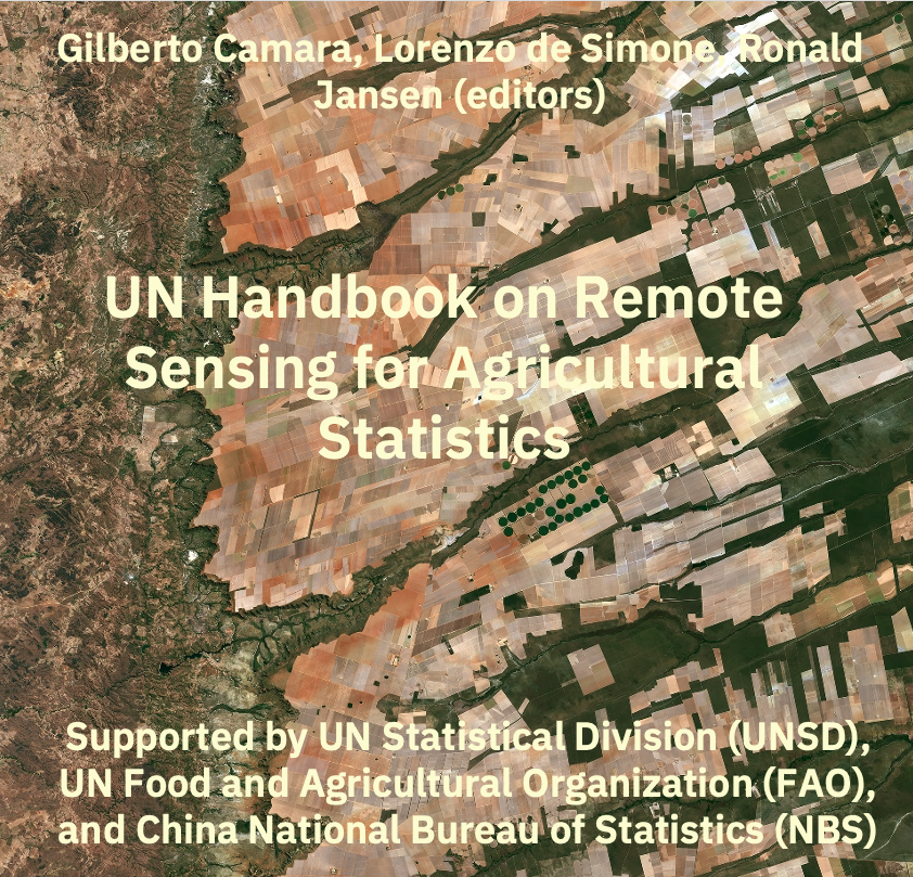
UN Handbook on Remote Sensing for Agricultural Statistics
Welcome
The era of big Earth Observation (EO) data is characterized by the open accessibility of petabytes of imagery via cloud-based services. This unprecedented data availability necessitates novel methodological approaches to quantify planetary change. A pivotal advancement in this domain is the transition from analyzing single snapshots to utilizing Satellite Image Time Series (SITS), which capture continuous spectral signals over time. SITS offer superior capabilities for monitoring ecosystem dynamics, enabling more precise measurement of natural resource depletion—such as deforestation, degradation, and desertification—and significantly improving the production of agricultural statistics.
This handbook serves as a practical guide to the application of remote sensing for agricultural statistics, equipping readers with the methodologies required to generate high-quality land use maps and crop yield predictions. A primary objective is to engage national statistical and mapping authorities. We aim to foster a collaborative environment that empowers these institutions to leverage EO data for enhancing national estimates and supporting sustainable development. Ultimately, given the complexity of biophysical systems, extracting robust insights from big EO data relies fundamentally on the integration of local expertise and in situ knowledge.
Main Sections and Key Topics
The handbook is divided into several major sections covering both the theoretical foundations and practical applications of remote sensing in agriculture:
The “Foundations” section covers the technical underpinnings of using satellite imagery for agricultural data. It includes a discussion on optical and Synthetic Aperture Radar (SAR) imagery, and covers Earth observation big data sources and the use of data cubes. There are also chapters on land cover and crop classification schemas, quality control of training sets, and the use of machine learning algorithms for image time series, spatial map uncertainty estimation, map validation for area estimation, and using remote sensing in the design of sampling frames.
The “Use Cases in Crop Type Mapping” section provides real-world examples of crop classification across different regions. It features case studies on crop monitoring and classification in Poland, Mexico, Zimbabwe, Chile, and China. It also includes a chapter on agricultural mapping using the Digital Earth Africa program.
The “Crop Yield Estimation” section focuses on using remote sensing data to forecast and map crop yields. It covers topics like early-season crop yield mapping in Finland and mapping rice crop phenology in Indonesia and Colombia. There is also a chapter on yield forecasting in Poland and one in remote sensing estimation of soybean yield based on multi-scenario simulation in China.
The “Extraction of Crop Statistics” part details how to derive meaningful agricultural statistics from the classified maps. It presentes methods Weighted Area Estimators, statistical methods such as regression-based acreage estimation and prediction-powered inference (PPI) for agricultural decision-making.
The “UAV Applications in Agricultural Statistics” section focuses on the use of Unmanned Aerial Vehicles (UAVs) for localized data collection. It covers topics such as field parcel identification and automated monitoring of crop growth index using UAV imagery. There is also a case study on integrating UAV imagery into agricultural statistics in the Cook Islands.
The “Remote Sensing for Agricultural Disaster Response” part addresses how remote sensing can be used for rapid assessment following an agricultural disasters, and includes a specific use case on an automated flood detection in China.
The “Additional Topics” section covers broader initiatives and resources, including the important work on global crop mapping done in the World Cereal initiative. There is also a chapter which describes resources for training in the use of Earth Observation for agricultural statistics.
Intellectual property rights
This book is licensed as Attribution-NonCommercial-ShareAlike 4.0 International (CC BY-NC-SA 4.0) by Creative Commons. The sits package is licensed under the GNU General Public License, version 3.0.
Version information
This is the first version of the Handbook, launched during the International Seminar on Innovative Application of Methods and Technologies in Agricultural Census, hosted by National Bureau of Statistics of China, and held in Chengdu, China, December 2025.